What is 'LiDAR'?
- Helen Wattie
- Jan 5, 2023
- 2 min read
LiDAR, is an acronym for Light Detection and Ranging. It uses light in the form of a laser to measure variable distances to the Earth. The result is a dense, detail-rich group of elevation points, called a "point cloud.“
The point clouds are used to generate other geospatial products, such as digital elevation models, canopy models, building models, and contours.
What is 'Aerial LiDAR'?
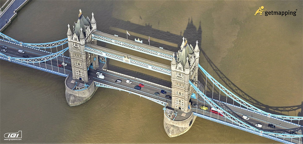
Aerial (or Airbourne) LiDAR is a proven approach to creating fast and accurate terrain models for applications in many types of industries.
Standard photogrammetry uses visual RGB images to survey a location, the type of imagery you view on Google maps, or from our Aerial imagery feeds, whereas LiDAR creates an "image" using thousands of points of data.
The resulting three-dimensional (3D) point clouds allows precise measurements of objects or locations on the Earth surface which can then be used for multiple applications including creation of a 3D representation of a terrain’s surface. Before LiDAR, we relied on ground surveys or photogrammetry, both of which were relatively slow. LiDAR has since made this process quicker and easier.
How is Aerial LiDAR used?
LiDAR data enables us to create a number of derived products that can showcase essential information about assets (i.e. powerlines, buildings, towers) and vegetation.
As LiDAR is able to penetrate dense canopy, we can easily create bare earth terrain or surface models (DTM/DSM ) where buildings and vegetation are removed. We also use LiDAR to deliver elevation models (DEM) and Tree mapping models.
This is critical data for our clients and geologists around the globe. Our data enables them to study large areas of the earth's surface, particularly in places where trees and vegetation obscure the landscape.
LiDAR is used for multiple purposes; to model water flow or other movements (i.e. to run simulated earthquakes, avalanches or landslides, for transportation system planning, and various geological applications)
What about LiDAR captured from the ground?
Our Mobile Mobile solution allows imagery and LiDAR data to be collected from a moving vehicle. Mobile LiDAR is used to map and survey corridors from the street level with very high accuracy. Roads, highways and railways can be mapped at high speed without disturbing traffic.
Aerial LiDAR is useful where ground based surveys are unable to see all of the terrain for example, on motorways where there are wide medians and very steep side slopes. Because the two systems, a ground up view and an air-down or birds eye view, complement each other, Getmapping often combine both survey types for clients who need a true replica of the built environment
Huge advantage that Mobile Mapping offers is the Attributes and Extractions you can pull out of the data – anything you can see from the ground with your eyes the cameras capture with a Terrestrial based survey. You can therefore easily create maps of every attribute i.e. yellow lines, signposts, bus stop and much more, right down to granular details such as which parking signs are listing Blue Badge parking restrictions, or 'residents only' etc.


Comments