top of page
Survey Services
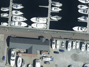
Geosense is a leading supplier of aerial, oblique and satellite imagery. We also provide LiDAR and mobile mapping surveys for our clients across Sub-Saharan Africa.
Using our fleet of aircraft, together with the latest aerial survey equipment, we are uniquely positioned to provide a range of innovative and custom solutions to our ever expanding list of valued customers.
Geospatial data is a key part of the future workplace, which is why we’re flying the flag to make it more accessible to those who need it - We unlock the power of where!
Leading Supplier of Aerial Survey Services
Vertical + Oblique Photography, LiDAR and Thermal Data Acquisition
Point Cloud and Panoramic Imagery Capture
Provider to Govenment, Mining, Utilities and Other Sectors
01
02
03
04

Providing Survey Services Across Sub-Saharan Africa
bottom of page


